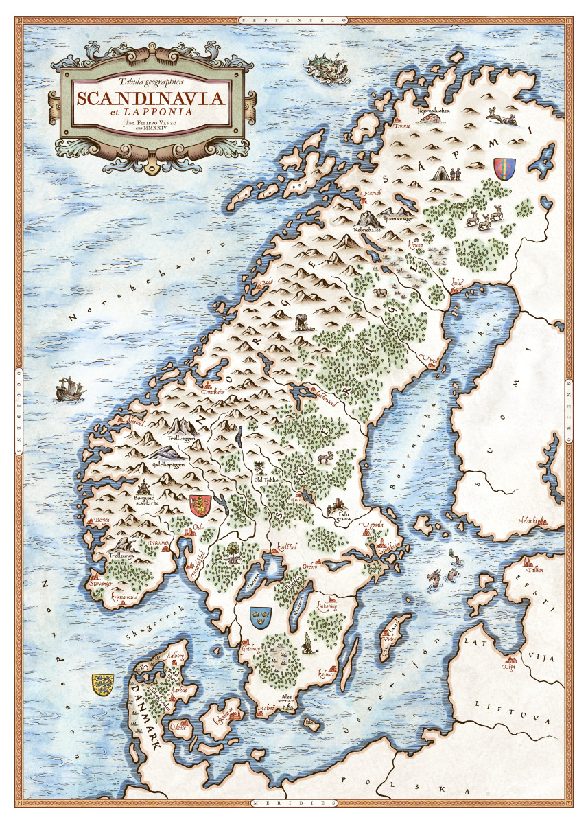
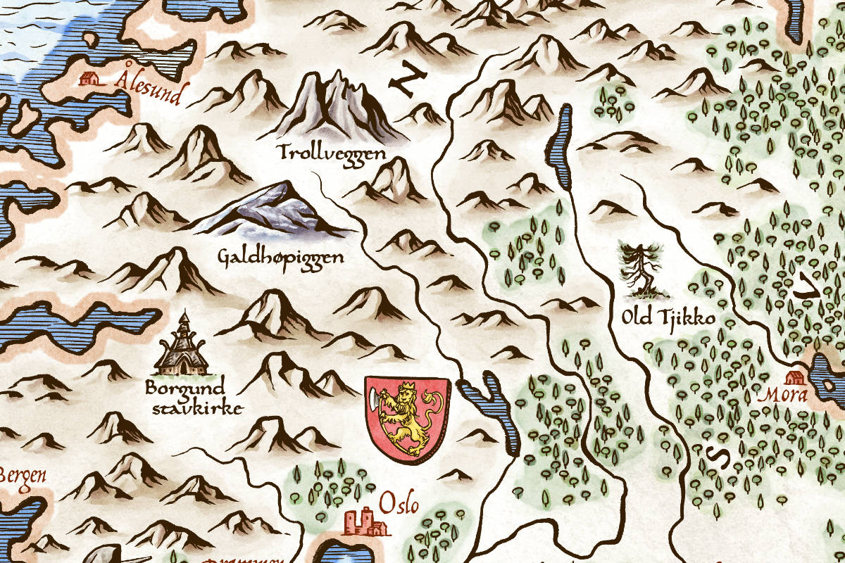
Present day countries and locations but with a touch of 15th and 16th (maybe even 17th) century cartography’s style and quirks.
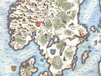
This is a remastered and expanded version of a black and white piece I made back in 2018 for the book Slaget om Salajak by Johan Theorin (published by Bonnier Carlsen). Here you can see the original map.
At the time I didn’t use vector layers in ClipStudio, so the original lineart could not be upscaled to 50×70 cm (19.7×27.5″). I wanted to add and change a few things, so I decided to just redraw the whole thing.
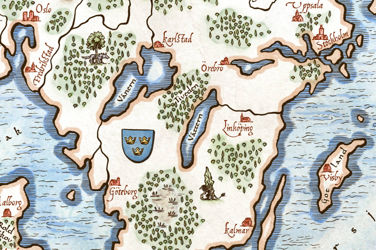
Scandinavia refers to the historical-cultural region that includes modern-day Norway, Sweden and Denmark. Not to be confused with other similar geographical and geopolitical entities like Fennoscandia, the Scandinavian Peninsula or the Nordic countries.
Although not a country per se, I decided to include Sápmi as well (or part of it at least), the cultural region inhabited by the Sámi people.
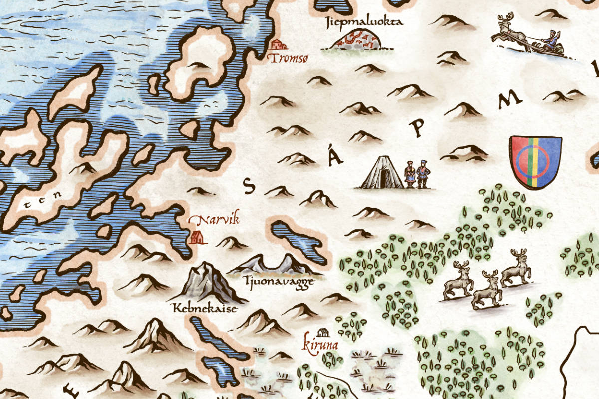
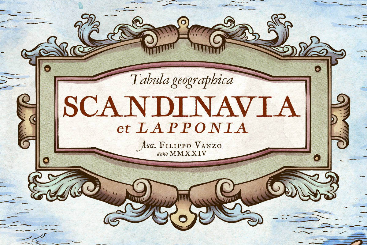
The labels of cities and places are in each country’s original language (and Sámi language) and for the cartouche I opted for Latin as an old-timey and supernational language.
Done entirely in ClipStudio Paint. You can see the whole process on my YouTube channel: