-
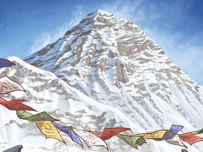
Expedition Mount Everest
Illustrated non-fiction book by Swedish climber David Klint about Mount Everest – Age group: 6+
-
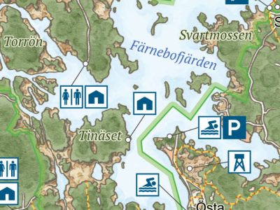
Upplevelser i Sveriges natur
A practical and inspiring guide to 32 of Sweden’s most impressive and unique natural areas, with detailed descriptions, tips, maps and photographs.
-
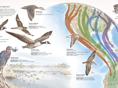
The Atlas of a Changing Climate
A design- and data-driven book that explores how climate change affects the ecology of North America through eye-catching infographics, dynamic maps, and color photography.
-
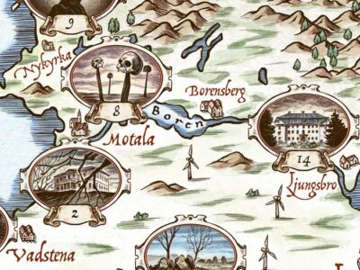
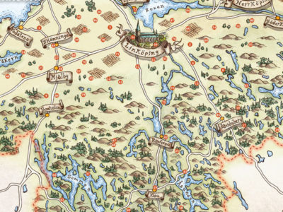
Dark Östergötland – When myth meets facts
Illustrated a map of Östergötland for the 2019 annual of Östergötland Museum.
-
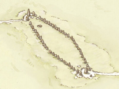
Ale’s Stones map
Map and illustrations for the information panels at Ale’s Stones (Ales stenar) and Kåseberga.
-
Folk art in Östergötland
I illustrated a map of the Östergötland county for the book Den glömda konsten about folk art in Östergötland.
-
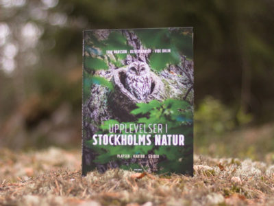
Upplevelser i Stockholms natur
A beginner’s guide to exploring Stockholm’s rich natural areas, with illustrated maps and species portraits.
-
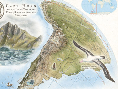
Cape Horn map
Celebratory illustrated map of Tierra del Fuego and Antarctica.