Cape Horn map

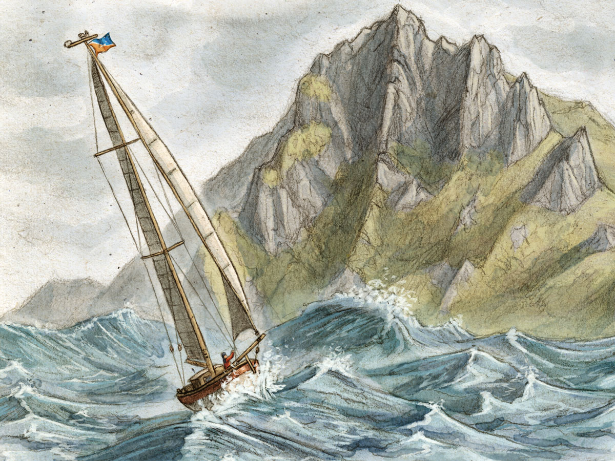
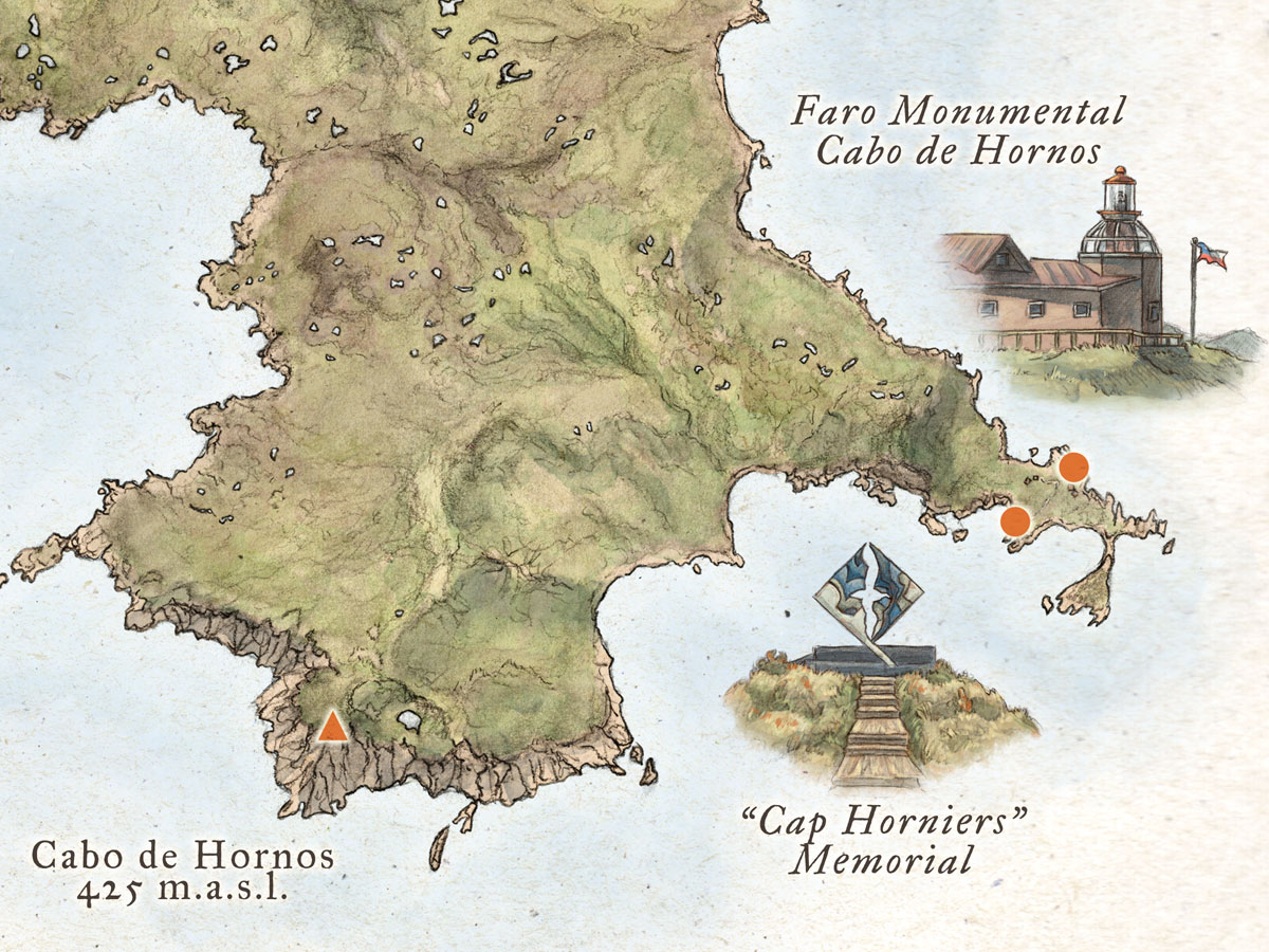
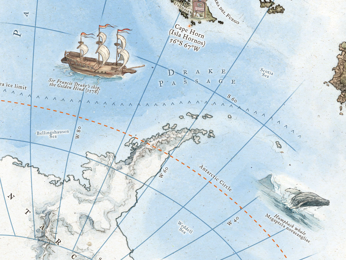
On January 29th 1616 the Dutch merchant ship ‘Eendracht’ sailed by Cape Horn, the southern-most point of South America. Exactly 400 years later I worked on a celebratory illustrated map for the clothing brand Cape Horn.

If you are interested in my process for creating the map, please check out this post.


Latest Projects

  • Tidsmaskinen

    A unique picture book collaboration between 12 of Sweden’s best illustrators. An imaginative look into history art.

    Read more…

  • Illustrated non-fiction book by Swedish climber David Klint about Mount Everest – Age group: 6+

    Read more…

  • Bovar och Brott

    Episode art for the third season of the podcast Bovar och brott (‘Crimes and Criminals’) – Age group 9-13

    Read more…